


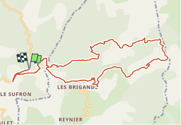

6.6 km | 13.8 km-effort


User


FREE GPS app for hiking
 SityTrail
IGN / Geographical institutes
SityTrail World
The world is yours!
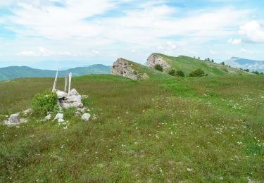
Trail Walking of 15.6 km to be discovered at Provence-Alpes-Côte d'Azur, Alpes-de-Haute-Provence, Le Castellard-Mélan. This trail is proposed by PapouBertrand.
Au niveau du Col st Pierre il est possible de couper la boucle.


Walking
Walking
Walking
Walking
Walking
Walking
Walking
Walking


sport